Last modified 10/09/2023
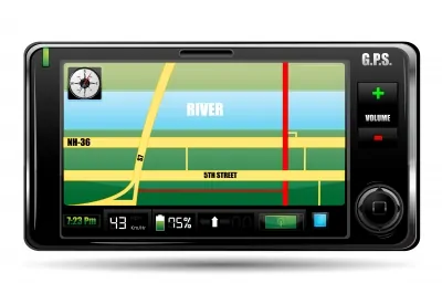
GPS technology is a global positioning system which is gradually taking greater acceptance by users and providers that give space to implement this system in their devices like phones, digital cameras, computer clocks, cars, etc. Today is no longer necessary for the user to be a governmental or commercial entity to be able to acquire one, now anyone can buy this service, you wil only ned to have a real – time locating the device.
It works after having obtained the geographical coordinates and located by triangulation of the satellite signals, these waves come from 27 satellites placed in the orbit and reaching coordinated trajectories cover the face of the earth.
To locate a position, the signal receiver is located in, at least, three satellites which can receive the signal indicating the position, the device examines the data received signal and then synchronizing the clock to the GPS so we can approximate the delay of signals; through this you can even calculate its distance.
As previously noted, the use of triangulation is used to find the position in which an individual or anything is located, and because GPS service is universal, it can be used in any geographical area (as street, city, country) as it is guided by different points that are, by default, spread throughout the world in conjunction with the satellites in the orbit.
This service offers many advantages as the power to know the location of a global element or the exact time that is, the level of altitude above sea level, among other, all these functions can be achieved by obtaining the geographic coordinates of the target and been additionally able to introduce a city or street referencing at multiple scales on a map.
Still not satisfied, this equipment has a device capable of browsing, because its architecture has a mini trip computer to collect information and data on the direction, trajectory and speed on the trip, you can also calculate the time it would take you to get to an specific place that has a GPS receiver which stores the data of previously visited places so you can know all the details to return to those places with the stored data.
As expected, there are other devices on the market that have similar operations as the ones provided by GPS, these devices are making headway in recent years. Despite having new features, the operation of receiving data is the same as the one performed by the GPS, one of its features is that it can automatically locate any vehicle (LAV), collecting data such as speed, direction and direction in real time, among others .
To accomplish this, it uses a communication channel to its base, so it can be constantly sending and receiving data regarding the target’s location. You can depend on some exclusive radio system, a cellular network service or other means of communication via satellite, according to distance, location and coverage may decide to choose one of these services. Prices can range from $ 200 to $ 2000, which is directly related to how elaborated the device might be.
Free images from FreeDigitalPhotos.net
Tags:
gps, gps technology, technology, gps applications, gps utility, uses of a gps, importance of a gps, how to use a gps, using a gps, global positioning system
